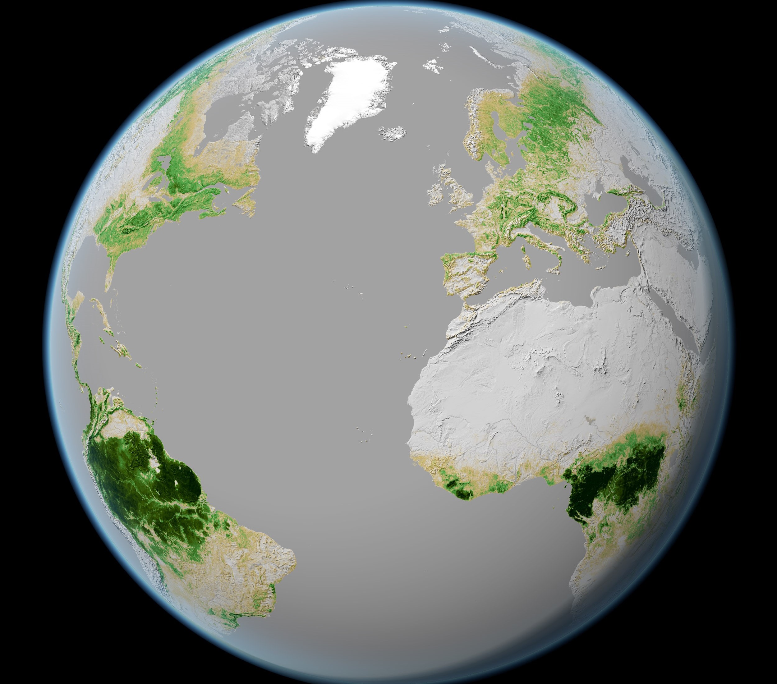
Today, Earth Day, invites us all to reflect on our relationship with Earth and the protection of our planet.
The vantage point of space gives us a shared, global picture of Earth, so we can monitor climate and environmental change as it happens and inform action.
Here are just five of the ways the UK is using Earth Observation to benefit our planet.
Keeping score from above
Climate change is monitored through 55 Essential Climate Variables (ECVs), of which more than half rely on data from space.
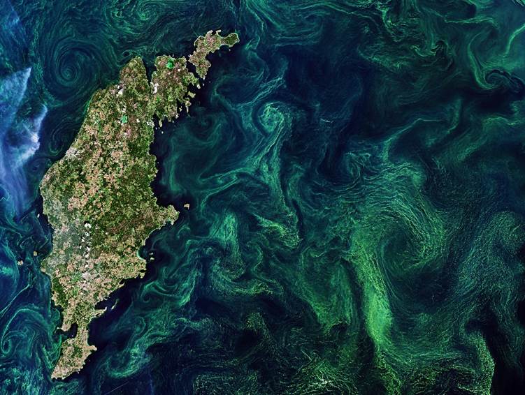
Through the European Space Agency (ESA), the UK Space Agency supports deep British expertise in ECVs, such as Northumbria University - who are developing methods for producing long-term and reliable data on the Antarctic ice sheets, or Plymouth Marine Laboratory, who use data from space to measure ocean colour to track ocean photosynthesis.
Photosynthesis in the world’s oceans accounts for approximately 40% of the global carbon locked away each year on Earth.
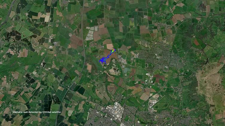
GHGSat vs the super pollutant
Methane is a greenhouse gas that contributes to global warming, often known as a ‘super pollutant’ and is 28 times stronger than carbon dioxide.
It is critical that we can detect and fix methane leaks quickly, and satellites are transforming our ability to do so.
In April 2023, scientists at the University of Leeds identified a methane leak while analysing GHGSat’s methane measurements, which can pinpoint emissions at the level of individual facilities from orbit.
The satellite observations revealed an unusually strong methane source, leading the researchers to alert the pipeline operator so the leak could be investigated and repaired.
This case marked the first time a methane emission in the UK had been detected from space and successfully mitigated, demonstrating how advanced satellite capabilities can support rapid, evidence‑based action to reduce greenhouse gas emissions and support the UK’s net zero ambitions. Read more here.
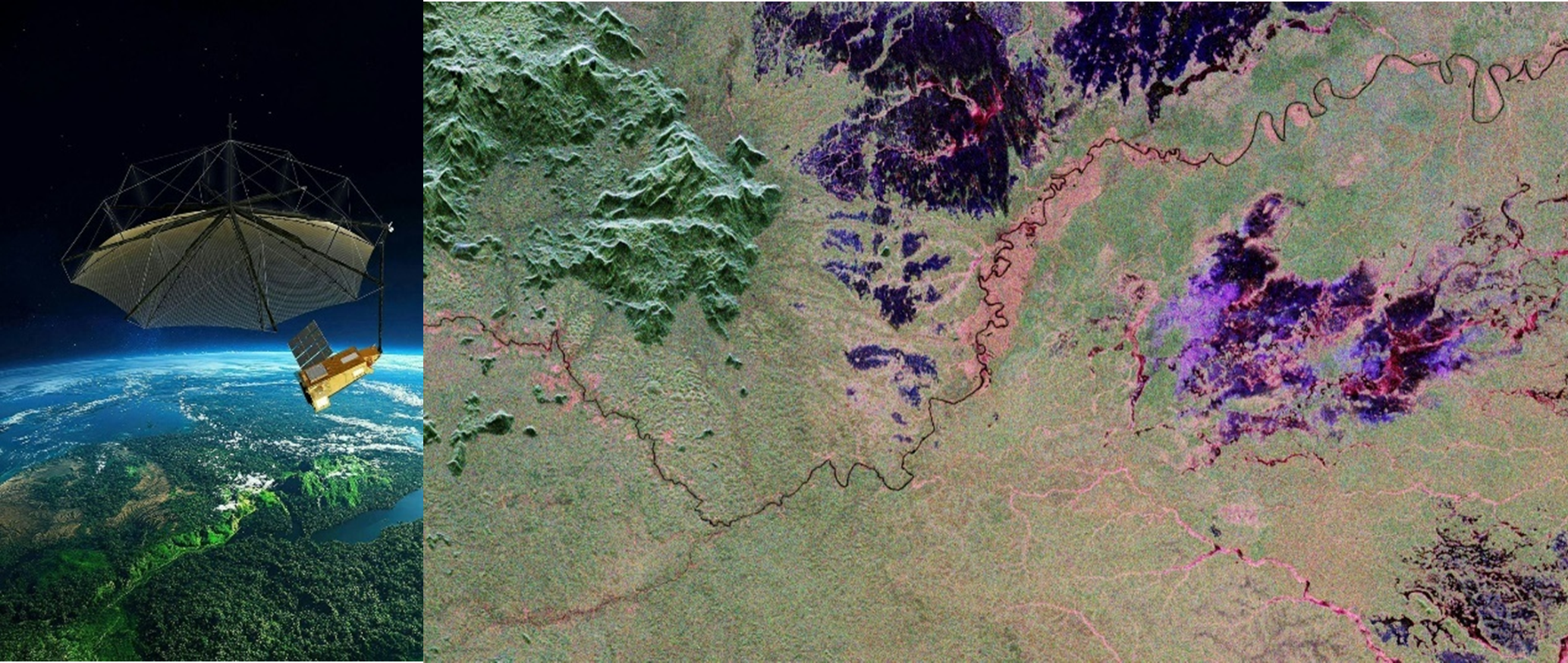
Seeing the wood for the trees
You might be surprised to learn that an umbrella can come in handy when exploring a rainforest from space as well as on foot! ESA’s Biomass mission, ESA’s 7th Earth Explorer boasting more than 20 UK contributions, carries a huge unfolding antenna that resembles one.
This “umbrella” is actually a powerful P-band radar that can see through dense leaves to look at the trunks and branches beneath - where most of the forest’s carbon is stored. Biomass is now mapping the forests of the globe to see how much carbon is being absorbed and how that is changing over time.
Biomass will soon be followed by FLEX, ESA’s 8th Earth Explorer mission, which is due to launch later this year following its assembly and testing by Thales in Belfast.
From orbit, FLEX will observe a fluorescent light given off by plants that can reveal how efficiently they photosynthesise - supporting global agriculture, climate science and food security.
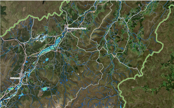
Supporting natural disaster relief
During severe storms, radar satellites such as Copernicus Sentinel‑1 are critical tools, delivering reliable imagery of the situation on the ground, through cloud, both day and night.
In Scotland - which frequently experiences strong Atlantic storms - the Scottish Environmental Protection Agency are expert users of satellite-derived data. Working with the University of Stirling, they have developed the Satellite Emergency Mapping Service.
This service brings together Copernicus imagery and data from the International Charter for Space and Major Disasters to support rapid response and mitigation.
Together, these capabilities provide clear, actionable intelligence that helps authorities prepare for and respond to flooding, protecting lives, livelihoods and critical infrastructure in an increasingly volatile climate. Read more here.
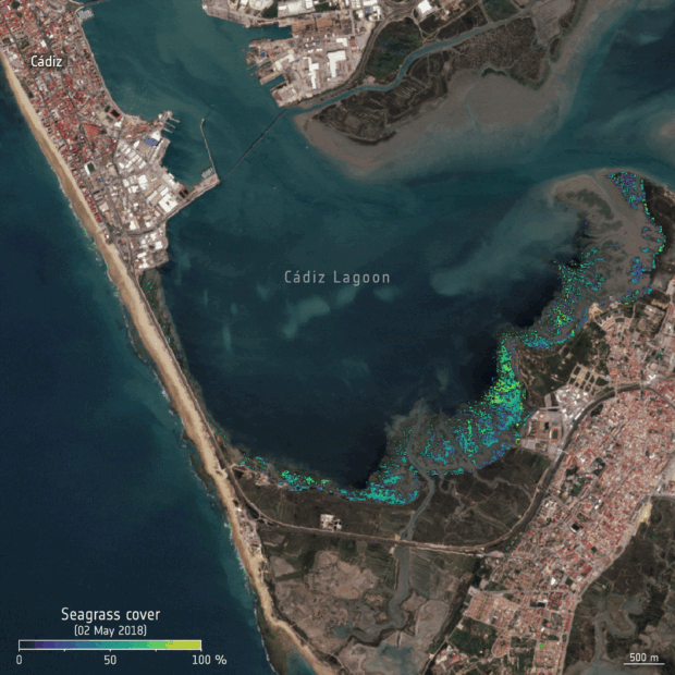
Meadows in the sea
The UK Space Agency’s Climate Services Call supported the development of new ideas and innovative projects that use Earth observation data. One of these projects was Plastic-i, a UK company that explored how data taken from satellites could be used with AI to map seagrass along the coastline and to estimate how much carbon it stores.
Seagrass meadows are powerful natural allies in tackling climate change and are a key biodiversity indicator, but until recently they have been difficult to monitor at scale.
Earth observation data, such as that from Copernicus Sentinel 2, allows organisations, researchers and decision‑makers to monitor coastal and marine environments more easily, helping turn space data into practical insight for protecting nature.
References and More Information
FLEX undefined - eoPortal
FLEX ESA - New satellite to measure plant health
Biomass Biomass, a satellite to look inside the world’s forests like never before | Airbus
Biomass ESA - Biomass satellite returns striking first images of forests and more
Biomass ESA - Biomass
Biomass EarthCARE - Case study - GOV.UK
ECVs What are ECVs - National Centre for Earth Observation
ECVs What are ECVs?
ECVs Antarctic Ice Sheets (Antarctic)
ECVs sea colour Photosynthesis: The paradox of carbon dioxide efflux - ScienceDirect; The role of phytoplankton photosynthesis in global biogeochemical cycles - PubMed;
ECVs Water vapour Water Vapour
Leave a comment